Bowraville is a historic country town located in the Mid North Coast hinterland of New South Wales, Australia, nestled within the picturesque Nambucca Valley. Situated approximately 17 kilometres inland from Nambucca Heads, the town has a population of around 1,160 residents and is deeply rooted in both European timber-getting history and Indigenous Gumbaynggirr culture. It is widely celebrated for its beautifully preserved colonial and Art Deco verandah-post architecture, earning it a reputation as a unique creative and historic hub.
Key Attractions & Heritage
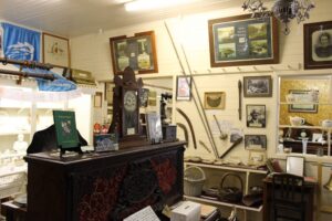
- Bowraville Folk Museum: Housed in a former turn-of-the-century general store, the Bowraville Folk Museum details the pioneer life of the Nambucca Valley. Its exhibits feature a relocated 1885 Presbyterian church, a replica pioneer log cabin, and a movie set boarding house.
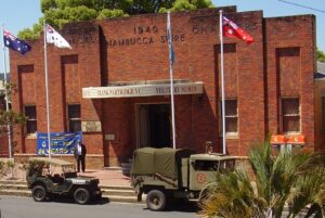
- Frank Partridge VC Military Museum: This comprehensive museum tracks Australian military engagement from WWI trench warfare up to modern combat systems. The Frank Partridge VC Military Museum is proudly named after a local resident who was the youngest and last Australian awarded the Victoria Cross during World War II.
- Bowraville Theatre: A stunningly restored 1930s cinema and performance space on the main street that serves as a cornerstone for local arts, film screenings, and theatrical performances.
- Historic Streetscapes & Timber Churches: Simply walking down High Street reveals wide verandah pubs like the Bowra Hotel, alongside striking, historic timber constructions such as the 1899 St James Anglican Church.
Nature & Recreation
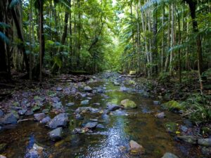
- National Parks & Reserves: The town is an inland gateway to spectacular natural scenery, including the nearby Bowraville Nature Reserve and Dunggir National Park—which derives its name from the Gumbaynggirr word for “koala”.
- Bowraville Sports Hub: An excellent recreation destination tucked into the hinterland, offering a scenic 9-hole golf course, an indoor golf simulator, and all-weather undercover lawn bowls facilities.
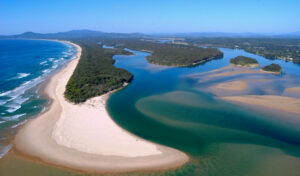
- Nambucca River: The river provides exceptional waterways for scenic drives, fishing, and canoeing, linking the rural hinterland directly to the coastline.
Google Map Link – https://maps.app.goo.gl/6HuBDud4DPH2CmocA